Posted on 23 June, 2005
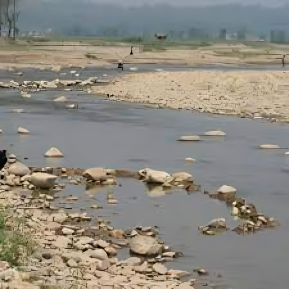
The morphological study of rivers or streams like Chiruwa and Chauraha Khola in Makawanpur involves analyzing the physical characteristics and changes in the river's form over time. This kind of study is essential for understanding sediment transport, flood risks, erosion patterns, and overall river health. Here's a detailed process for conducting such a study:
Field Survey and Data Collection
- Objective: Gather detailed physical data of the rivers through on-site surveys.
- Tasks:
- Topographic Survey:
- Measure cross-sectional profiles of the rivers at various points.
- Use GPS and total stations to record riverbank locations and elevations.
- Sediment Sampling:
- Collect sediment samples from the riverbed and banks to analyze grain size distribution.
- Identify sources of sediment input and areas of significant sediment deposition or erosion.
- Vegetation and Land Use Survey:
- Document the types of vegetation along the riverbanks and note any human activities affecting the river morphology.
Data Analysis
- Objective: Analyze the collected data to understand the current morphological state and historical changes in the rivers.
- Tasks:
- Cross-Sectional Analysis:
- Compare cross-sectional profiles over time to identify areas of erosion or deposition.
- Calculate the river’s width-to-depth ratio, sinuosity, and channel slope.
- Sediment Analysis:
- Analyze sediment size distribution and composition to determine transport dynamics.
- Assess the balance between sediment supply and transport capacity.
- GIS and Remote Sensing Analysis:
- Use GIS tools to map and visualize changes in river morphology over time.
- Overlay historical maps with current data to detect significant morphological shifts.
Interpretation and Reporting
- Objective: Summarize findings, interpret results, and provide recommendations for river management.
- Tasks:
- Interpretation:
- Identify key factors driving morphological changes in Chiruwa and Chauraha Khola.
- Relate observed changes to human activities, natural events, and long-term trends.
- Reporting:
- Prepare a comprehensive report detailing the methodology, findings, and conclusions.
- Include maps, charts, and models to illustrate key points.
- Recommendations:
- Provide recommendations for managing erosion, sediment transport, and flood risks.
- Suggest monitoring strategies and future research needs.