Thapathali, Kathmandu, Nepal
info@csds.com.np
9851189225, 9852046561


Tableau/D3Js Data Analytics and Visualization
Gesospatial Research and Report
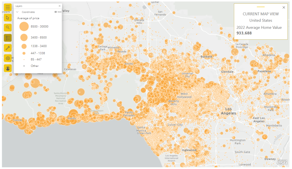
Integrated Web mapping with demographic & economic and utility mapping
Geographic Information System Solutions
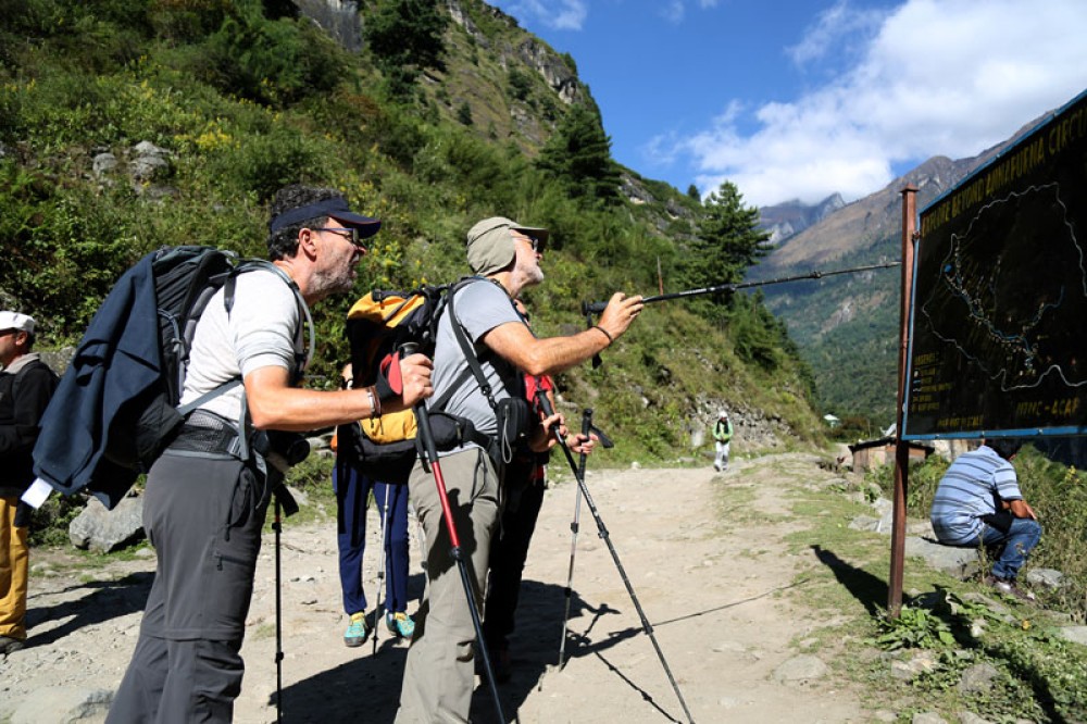
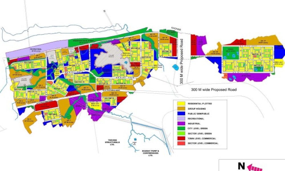
Business Location mapping and Landscape/ Site Plan mapping
Web Cartography and Online Mapping products development
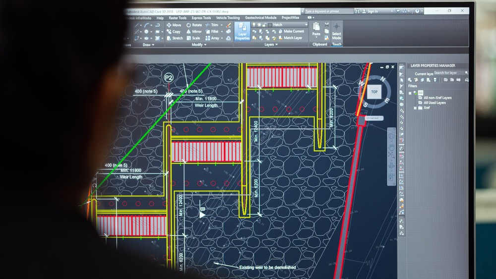
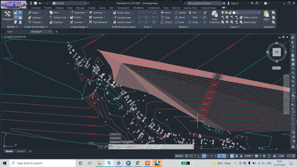
Raster to Vector Conversion
Graphic design to Geo-spatial data generation
Paper /pdf/tiff/jpeg CAD Conversion
Analytical Hill Shading
Digital Elevation Module Generation

Orthophoto generation
Geo-referencing and Geocoding
Country Road map publication and distribution
Commercial District Map publication and distribution